From the Sacred Valley main road connecting Urubamba and Pisac I kept noticing a very interesting zig-zag road up towards a cliff that connected to a even zig-zaggier pedestrian route up-up-up and over onto the top of a sheer cliff face. On Google Maps I saw an archaeological site for an Inca city called Huchuy Qosco (sometimes spelled Juchuy Cosco), and was drawn to this place.
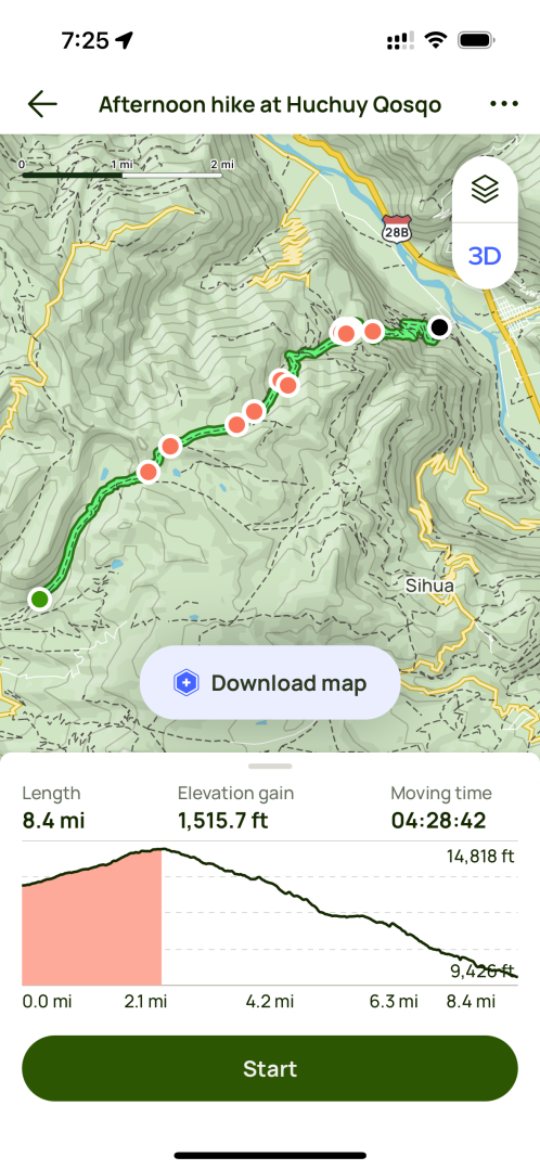
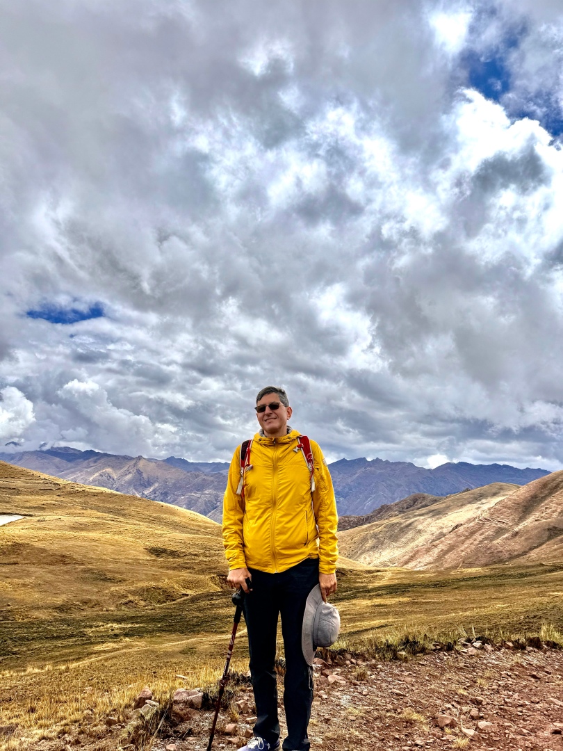
On AllTrails there were a few hiking routes, either from the valley itself (2k feet straight up, not appealing) or various 7-10 mile hiking routes from Chinchero area or from Tambomachay in Cusco. While several blog posts outlined how to do these routes solo, i wanted the safety of a guide (since I was traveling solo) for such a rural and steep climb. I found Victor, a wonderful local guide, using GetYourGuide app, and together from 6am Cusco departure we made the amazing trek. I highly recommend.
The highlights:
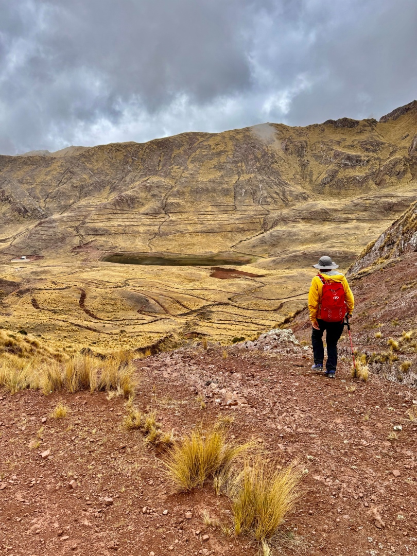
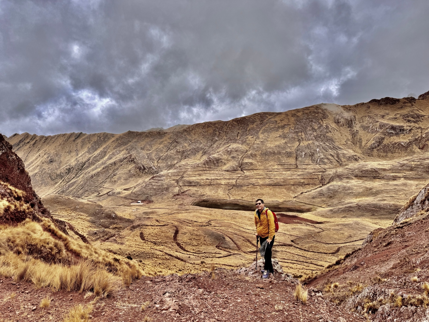
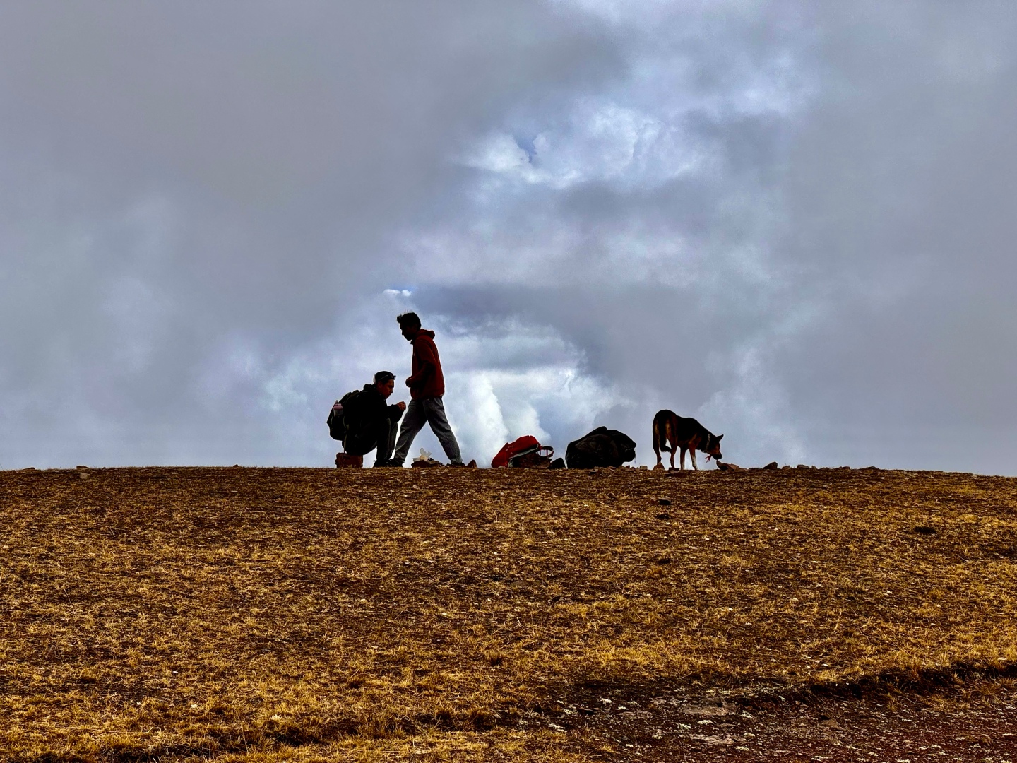
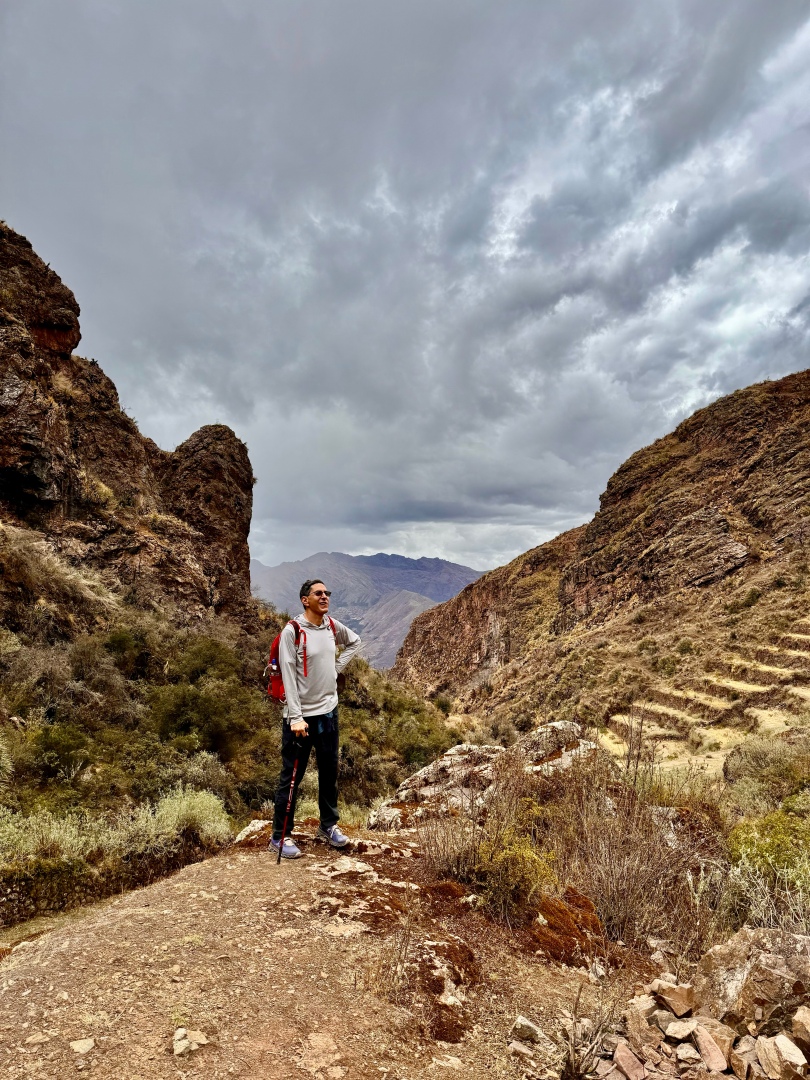
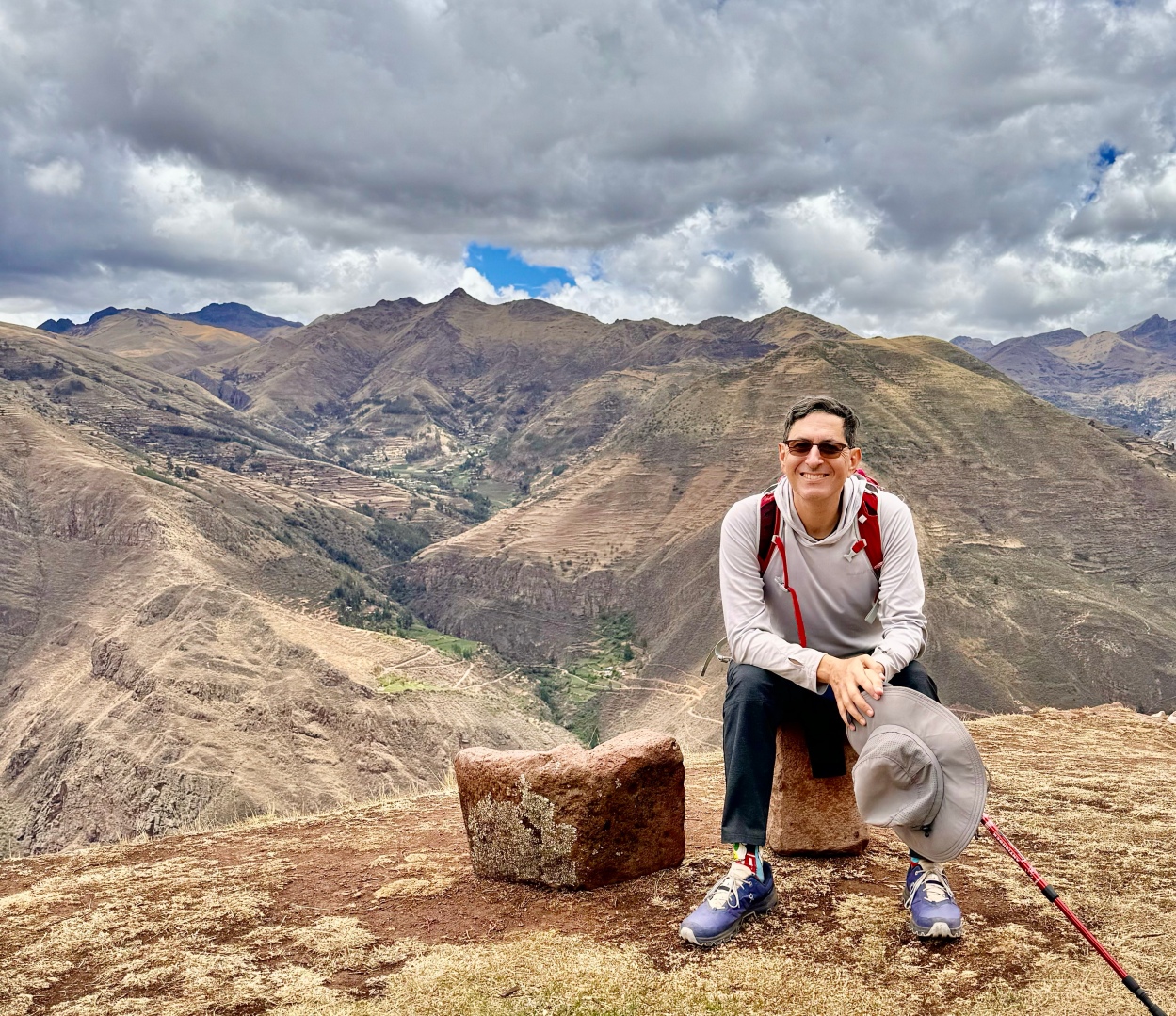
- Stunning climb to 14,400 ft pass during the first 90-120 minutes of the hike. Not as difficult as it sounds, the slope gradient was mild.
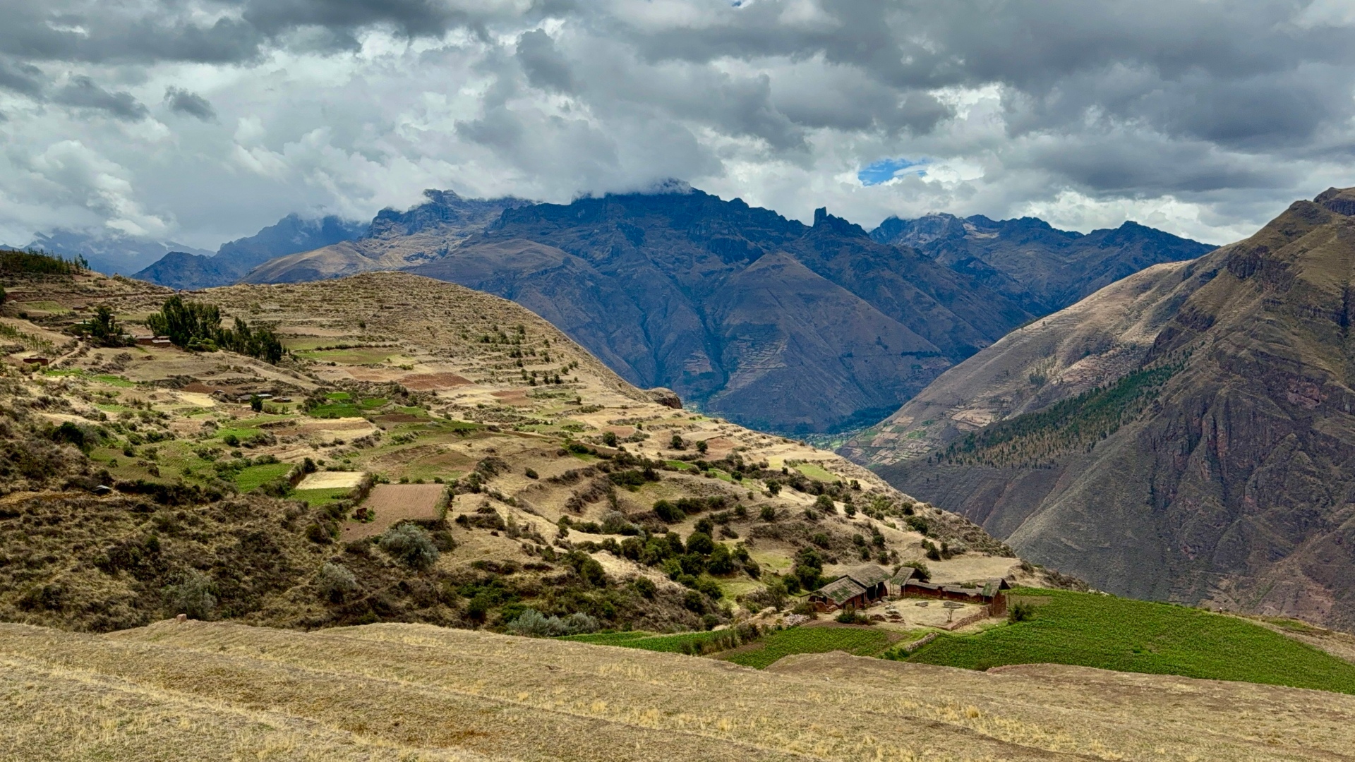
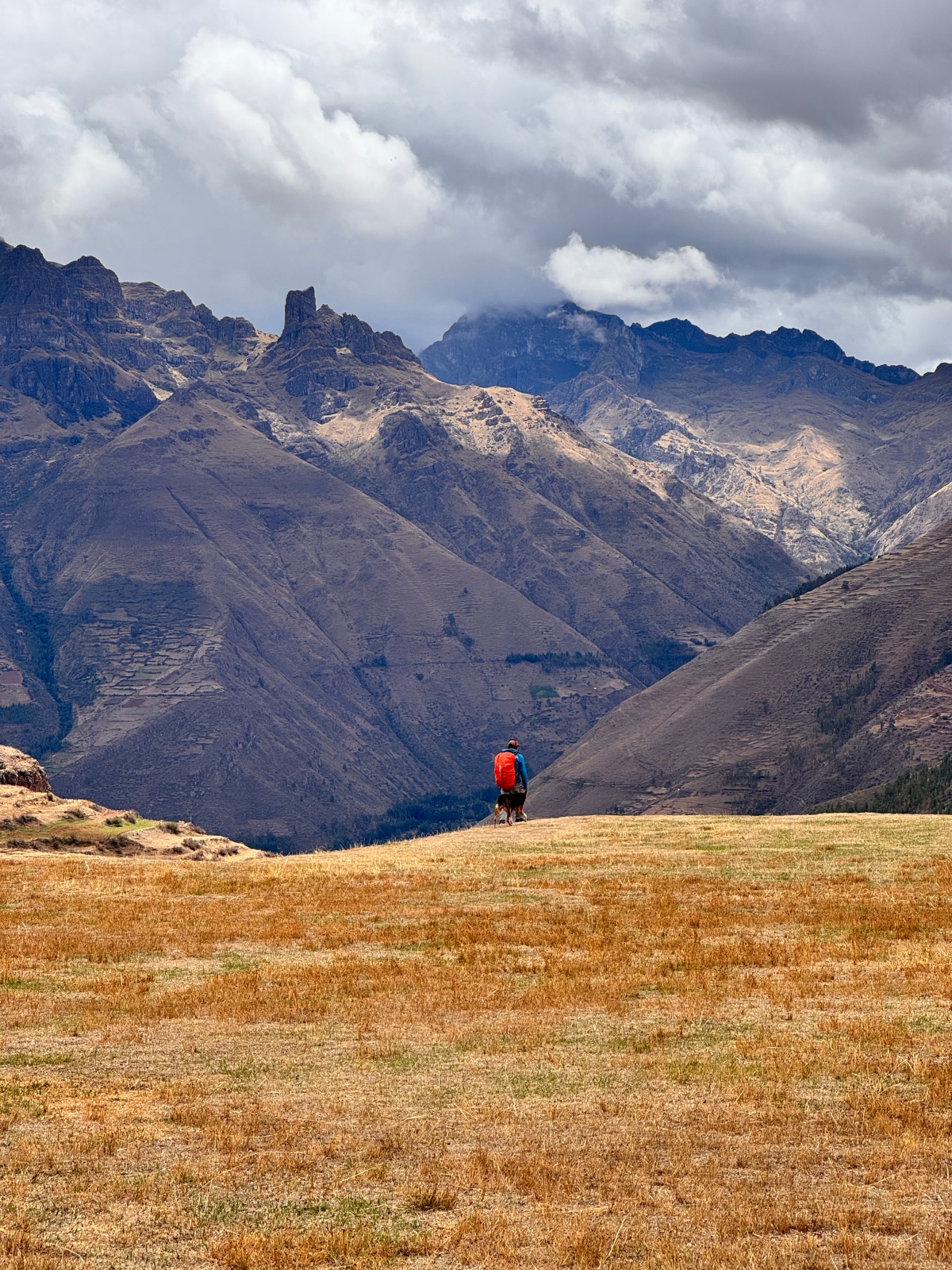
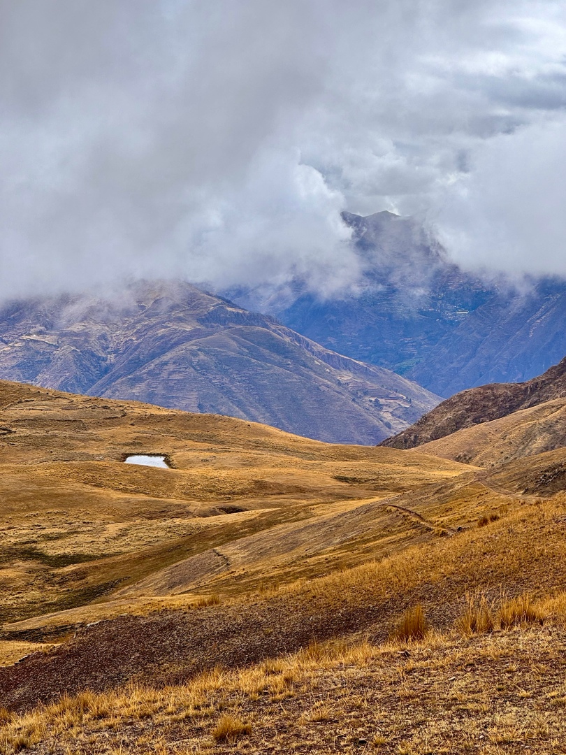
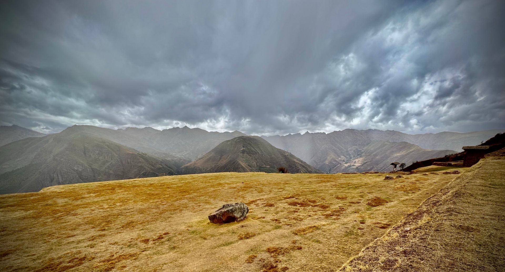
- Beautiful expansive views of the valley below from the pass, and as you descend, peek-a-boo views into side canyons and along the main cordillera of the Andes.
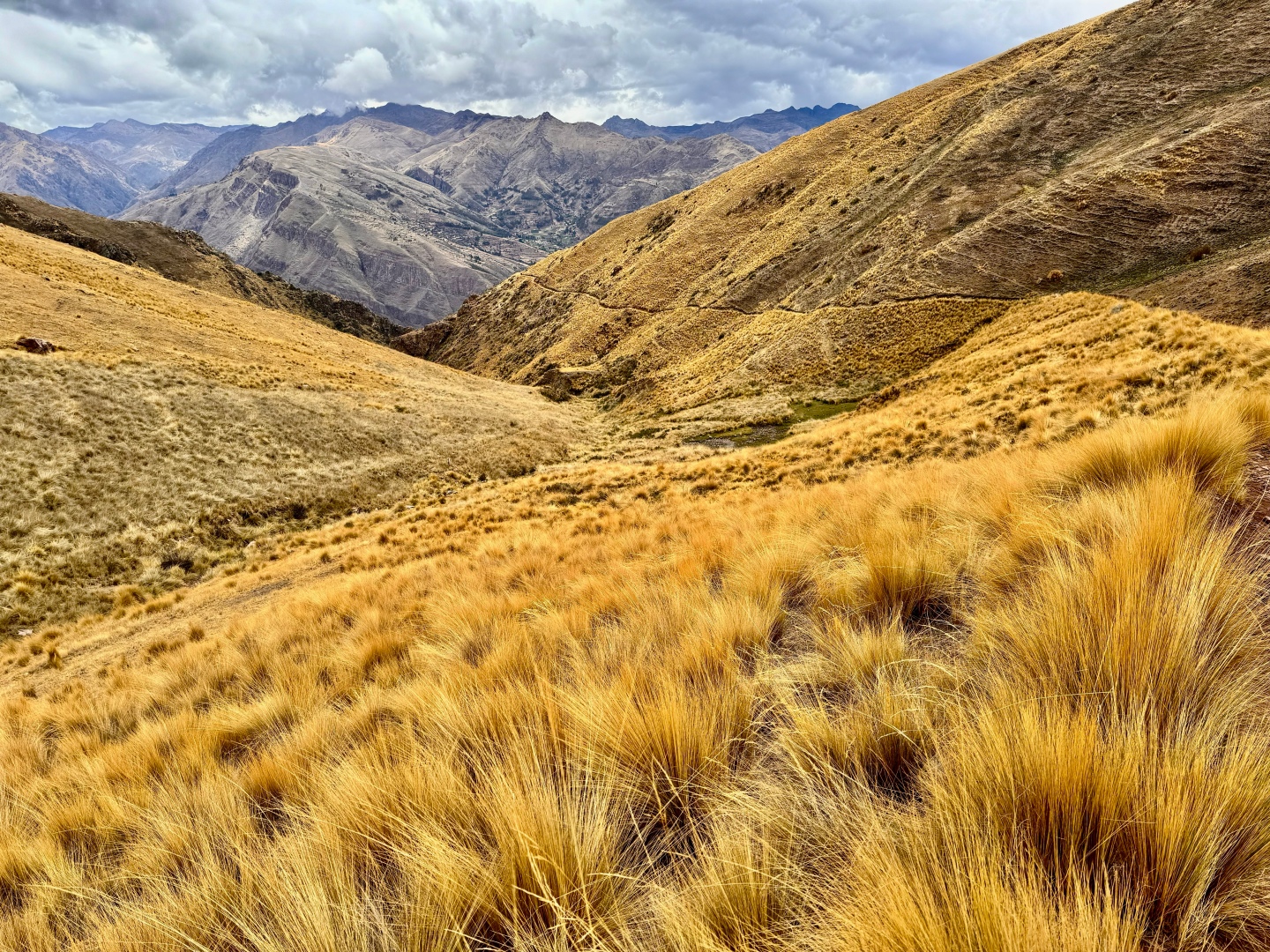
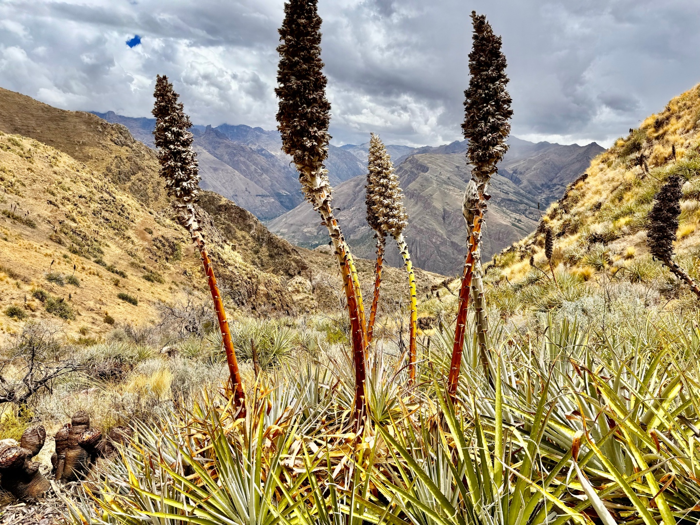
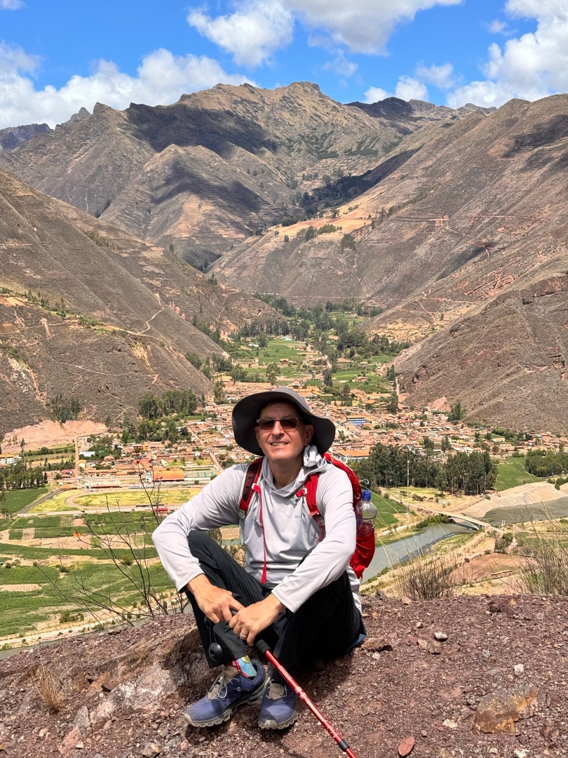
- Changing flor and grasses as you descend from 14,000 feet all the way down to 9,000. Walking poles really made this easier on my knees. Path is solid, not dangerous or loose.
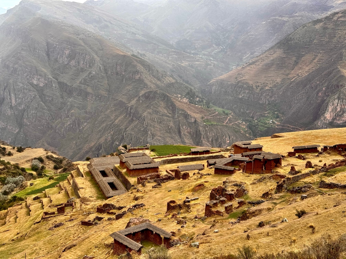
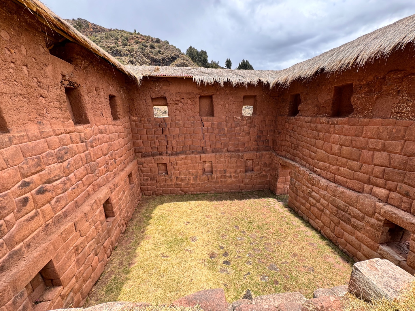
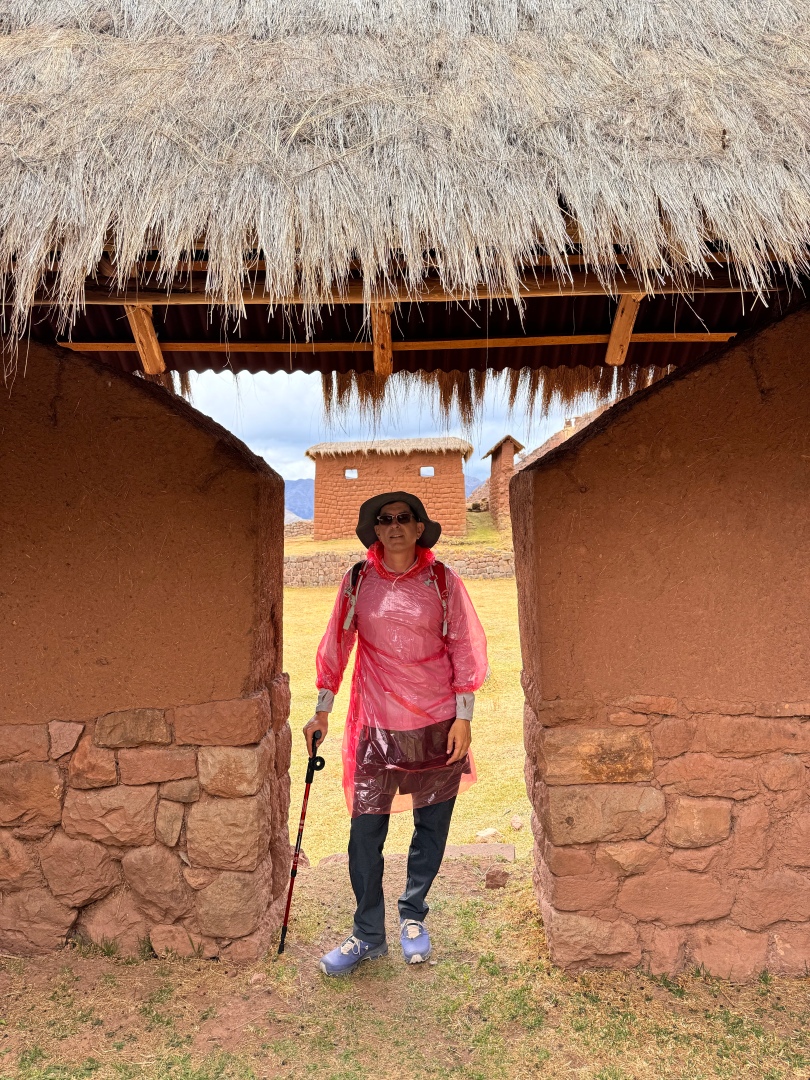
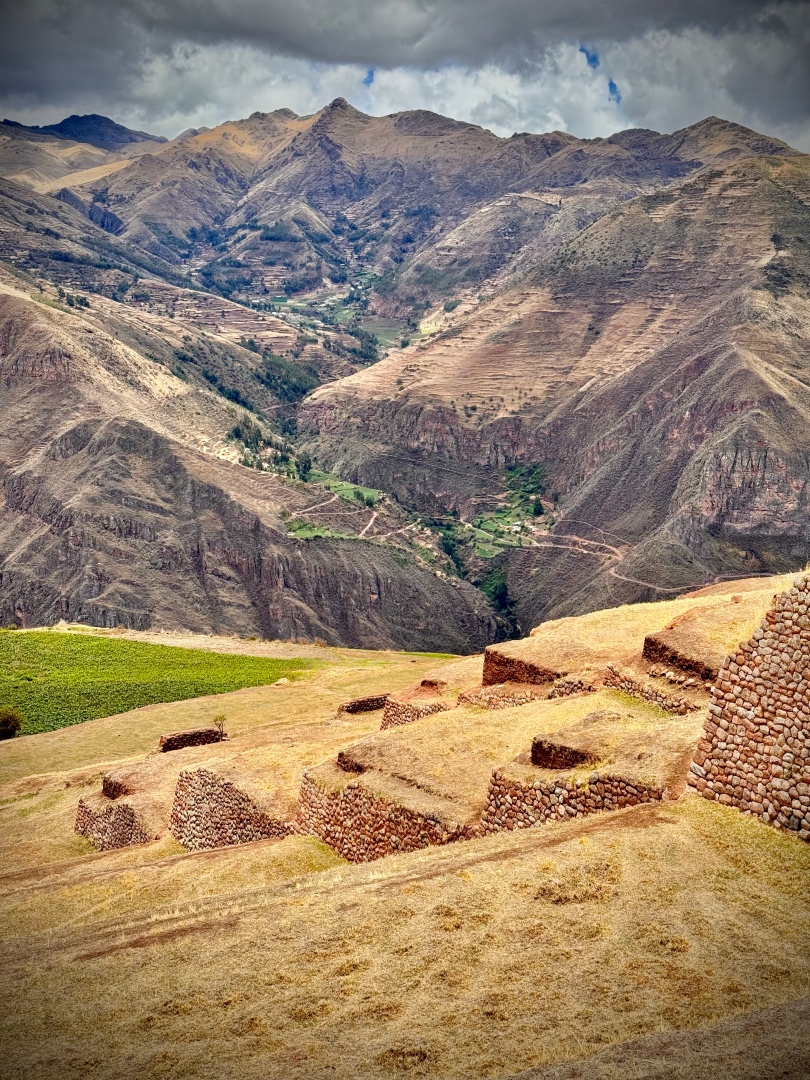
- The amazing Inca city, with very well preserved square, fountain, grain storage rooms, ceremonial and high-class residences including the best 2 story preserved building I’ve seen at any site, in the amazing city of Huchuy Qosco.
- Amazing views from the Huchuy Qoscco main plaza, a football field sized flat grassy space with astonishing 180 degree views of the valley—it feels like you are floating on a flying spaceship.
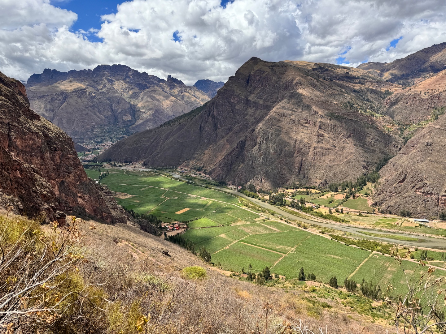
- Even more dramatic views as you descend rapidly the 2,000 feet from the Inca site, down to the city of Lamay.
Here’s my AllTrails route which was a variation of the route that others had posted in the app, similar but different starting point. The Tambomachay starting point I’m told is the “original Inca trail” and would have been fun to attempt, a little longer by 4 miles.